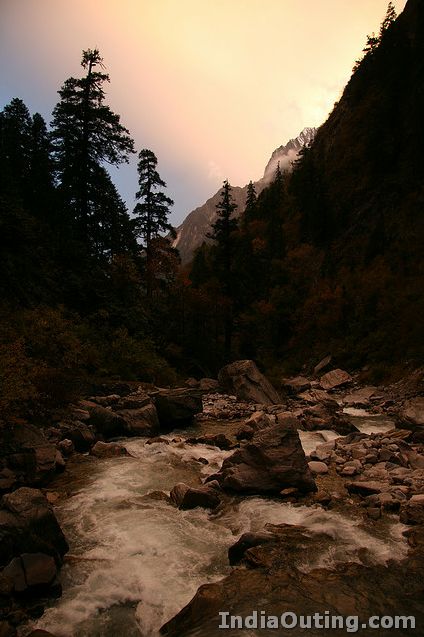
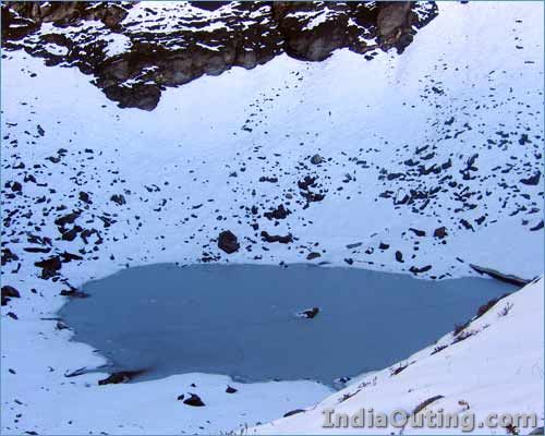
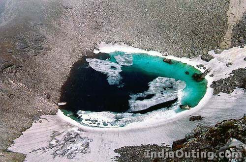
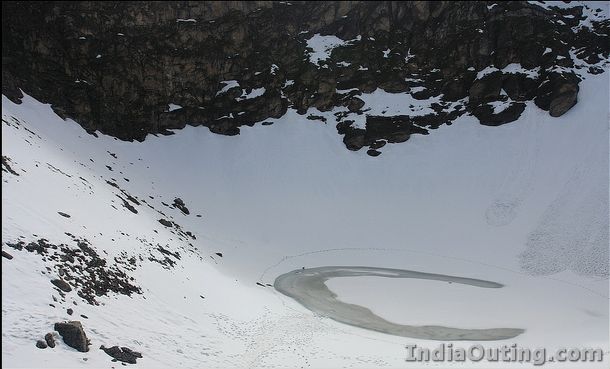
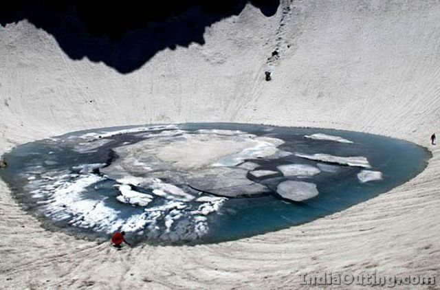
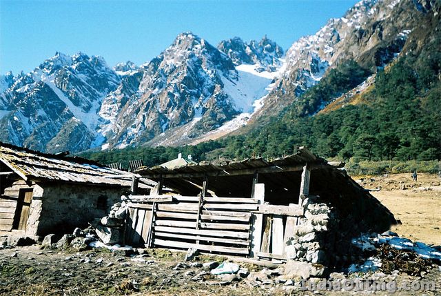
 When you look at Roopkund Lake from a distance, it lulls you into believing that it’s just another picturesque glacial lake in the Himalayas. However, at the bottom of this clear water lake lays a mystery that dates back hundreds of years and has been the subject of speculation among scientists, historians and mountaineers from all over the world.
It is located at an altitude of about 5,000 meters above the sea level in Chamoli district, Uttaranchal. When this glacial lagoon begins to melt, hundreds of corpses can be seen floating around. This revelation shook people worldwide and different theories were formed as to how such a terrible incident could’ve occurred. Were these people on a pilgrimage tour? Did they die in an epidemic? What were these people doing in one of the most inhabited regions of the Himalayas? It is also for this very reason that the lake is also referred to as the “Skeleton Lake”.
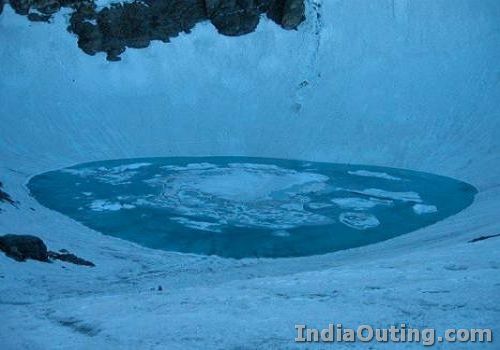
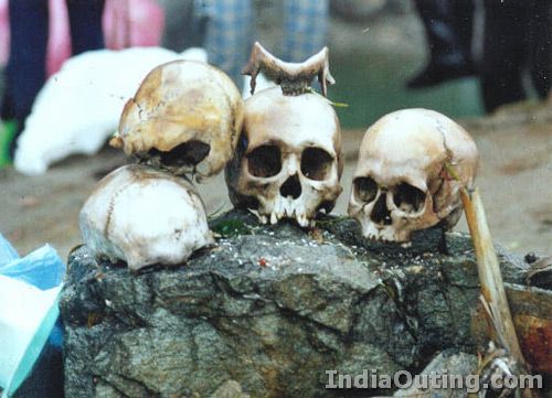
The matter was investigated and it was found that the people were from the 12th century to the 15th century. Remnants of 500 people were found and it is believed that more than 600 people lost their lives.
According to local legends, King Jasdhawal of Kanauj wanted to celebrate the birth of an heir by going on a pilgrimage to the Nanda-Devi Mountains in the Garhwal Himalaya. However, he ignored the rules of pilgrimage by indulging in unruly singing and dancing. The entourage thus had to face the wrath of the local deity, Latu. It said believed that they were caught in a dreadful hailstorm and were thrown into the Roopkund Lake.
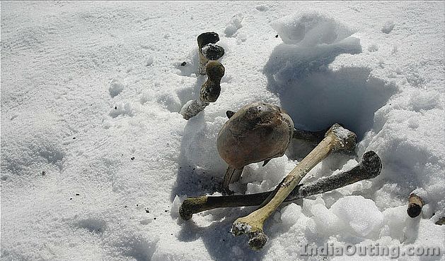
As it turns out, it was not all folklore. National Geographic television channel commissioned a team of European and Indian scientists to examine the skeletons. They found jewelry, bones and even flesh and clothes of a few bodies that had been preserved in the icy ground. However, what really caught their attention were the skulls which showed short, deep cracks. No other part of their body had been harmed. The only plausible explanation that scientists in Hyderabad, Pune and London could come up with is hailstorms. With hailstones as large as cricket balls and nowhere to seek protection from them, it is quite possible that many, if not all of them, perished.
The world breathed a collective sigh of relief when this age-old mystery was finally uncovered. However, a number of questions still remain unanswered. Where were all those people originally from? Where were all they headed to? Science still has quite a way to go before all answers can be found.
]]>
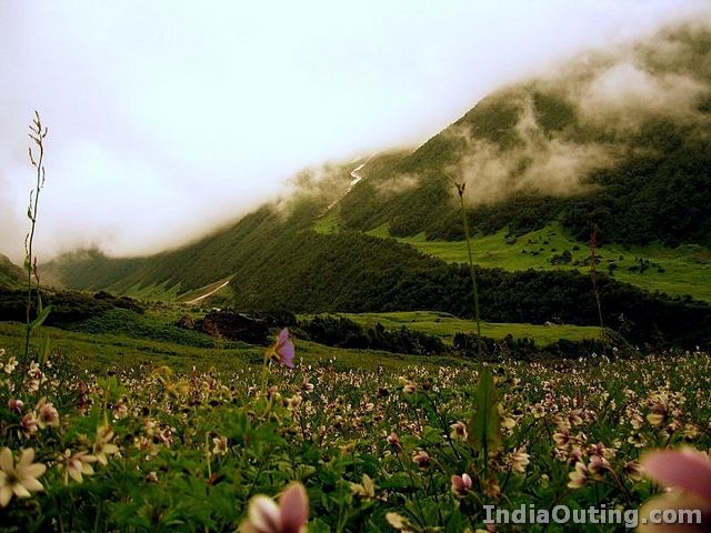
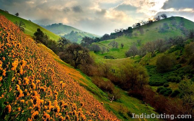
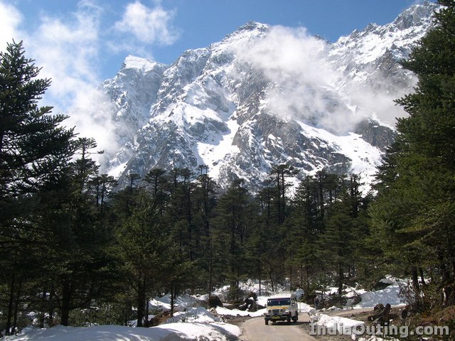
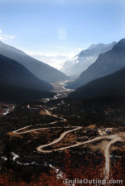
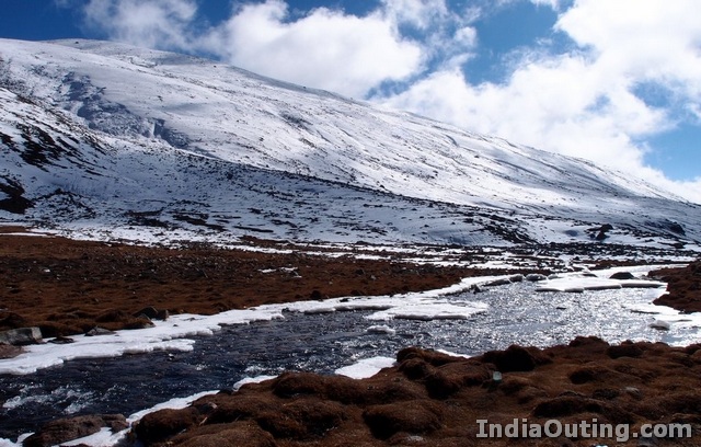
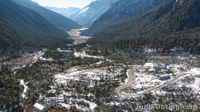
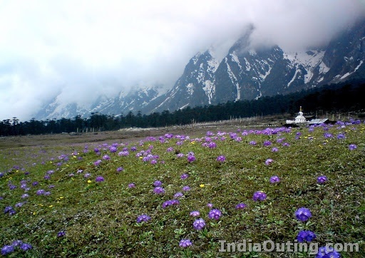
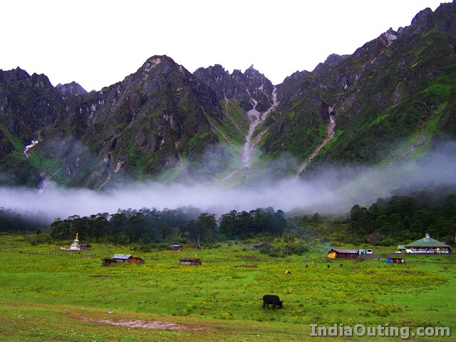
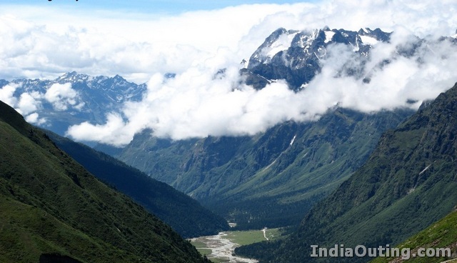
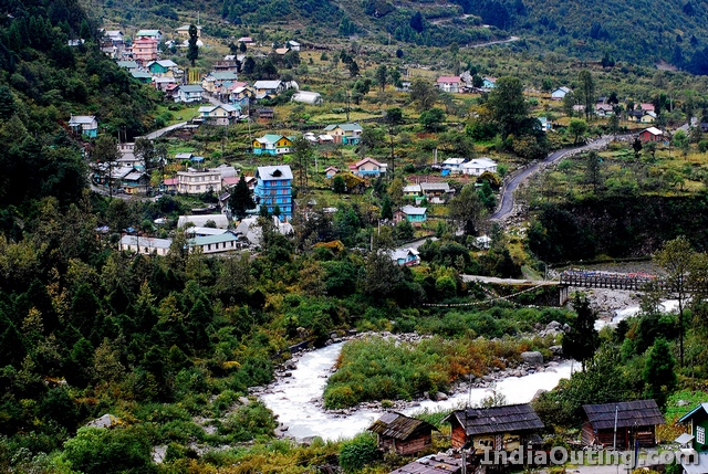
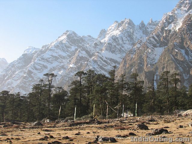
 The famous Yumthang valley in North Sikkim lies 140km north of Gangtok. Lachung provides the base for exploration of Yumthang, the valley of flowers. Situated at an altitude of 11800 ft ( 3564m) with a close proximity of Tibet, Yumthang is a unique place where the tree line ends, but rhododendron and primula still bloom covering the whole area in a surreal shade.
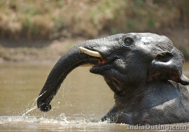
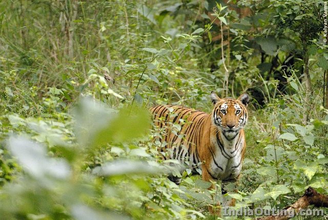
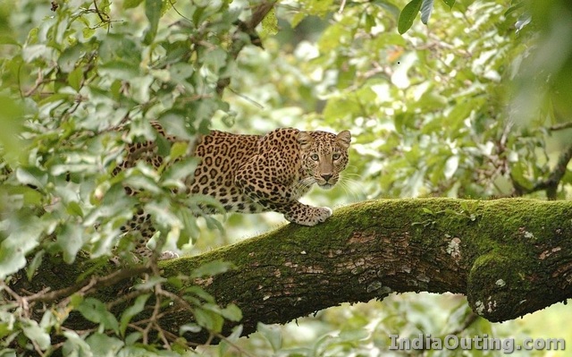
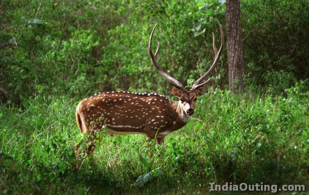
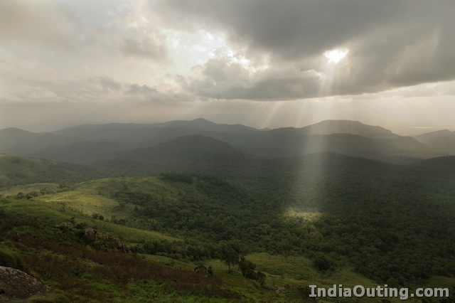
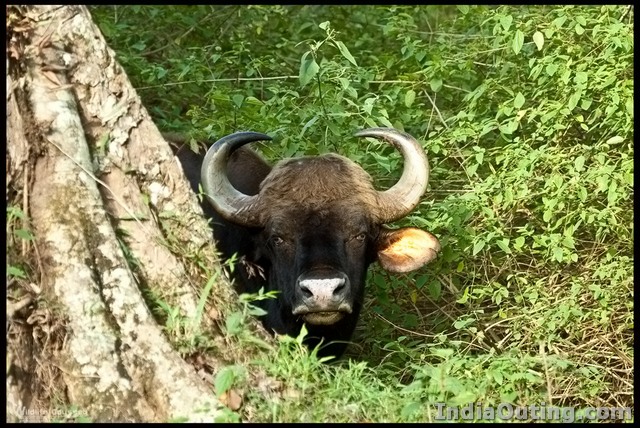
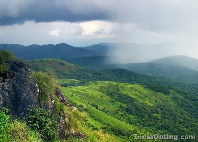
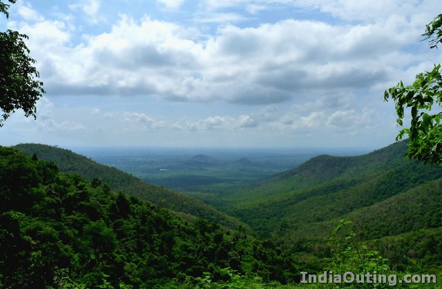
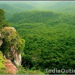 The Biligiriranga Hills, commonly called B R Hills, is a hill range situated in south-eastern Karnataka, at its border with the district of Erode in South India. The area is called Biligiriranga Swamy Temple Wildlife Sanctuary or simply BRT Wildlife Sanctuary. It is a protected reserve under the Wildlife Protection Act of 1972. Being at the confluence of the Western Ghats and the Eastern Ghats, the sanctuary is home to eco-systems that are unique to both the mountain ranges. This beautiful sanctuary was declared a Tiger Reserve in December 2010.
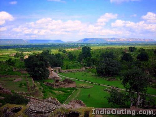
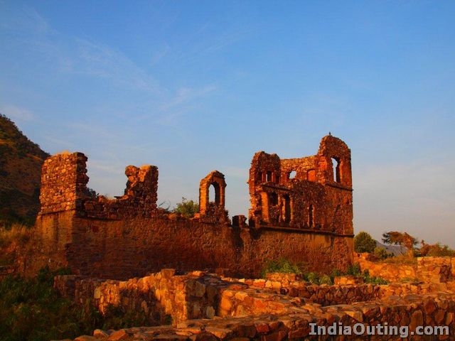
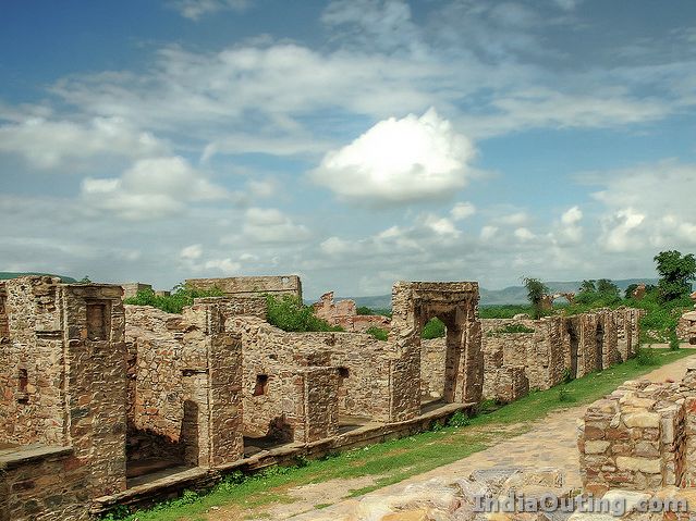
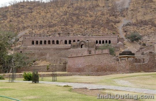
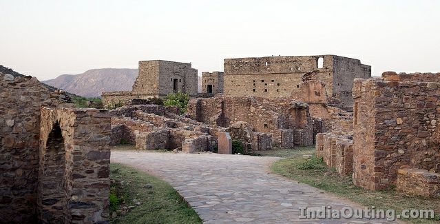
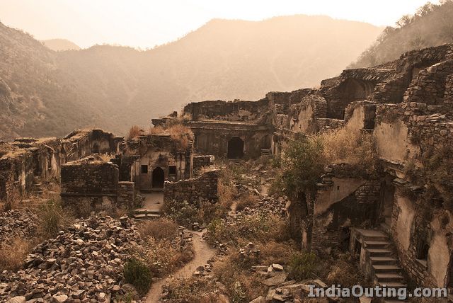
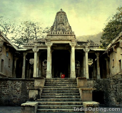
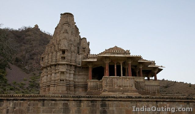
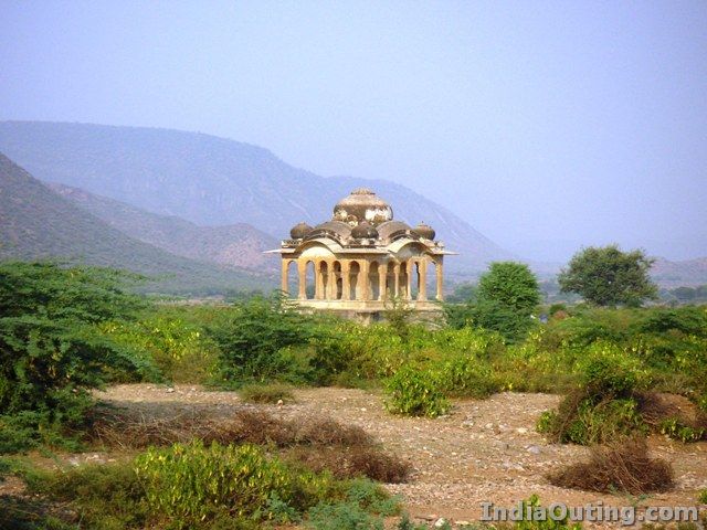
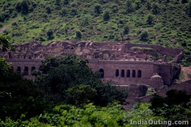
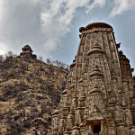 Located between Jaipur and Alwar in Rajasthan, Bhangarh is India’s very own ghost town. Known as one of the most haunted places in the country, it is famous for its historical ruins. It is definitely worth a visit for its temples, havelis and a palace. However, be sure to finish all your sightseeing during the day as the spooky place is strictly out of bounds at night.
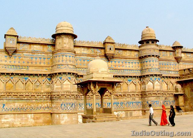
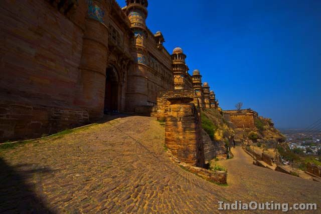
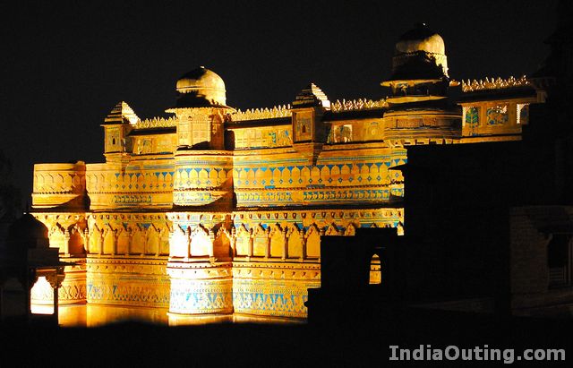
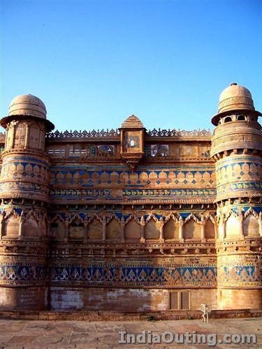
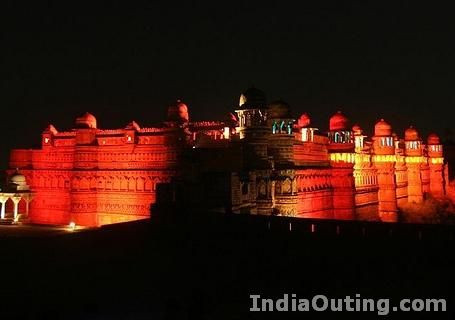
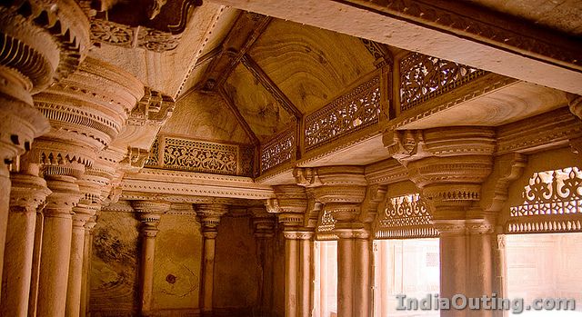
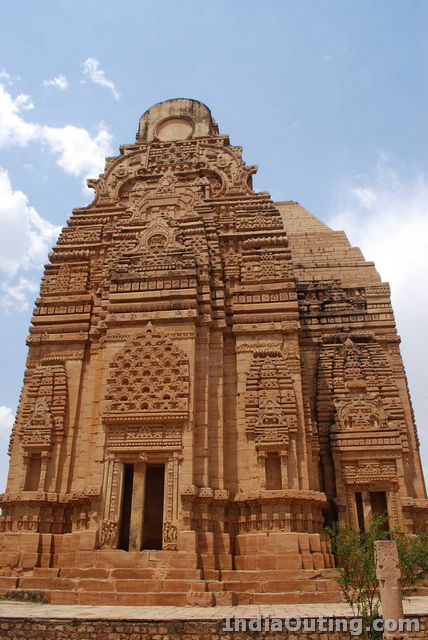
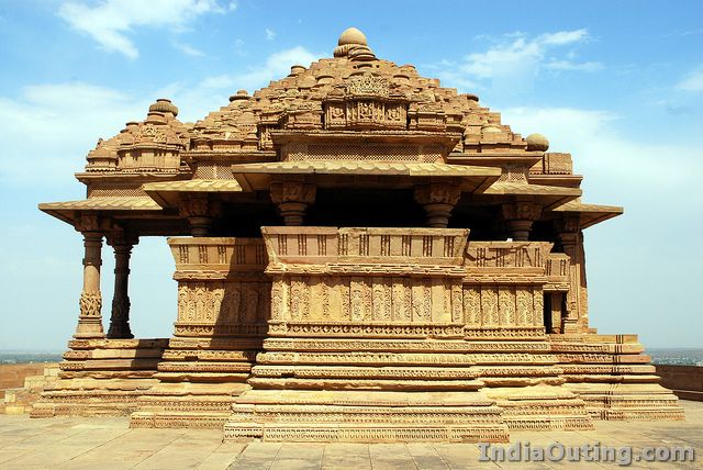
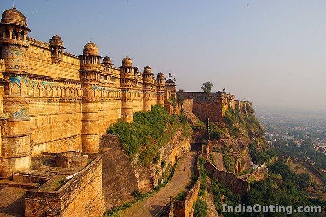
 Described by Mughal Emperor Babur as, “The pearl amongst fortresses in India”, this imposing fort is hard to miss as it can be seen from every nook and corner of Gwalior. Built on an isolated hill of sandstone 100 m above the city, the Fort spreads out over an area of 3 km and is considered as North and Central India’s most impregnable fortress.
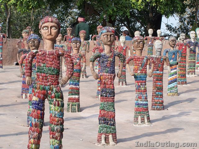
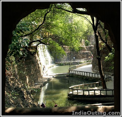
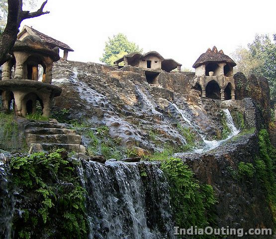
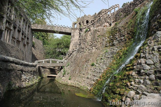
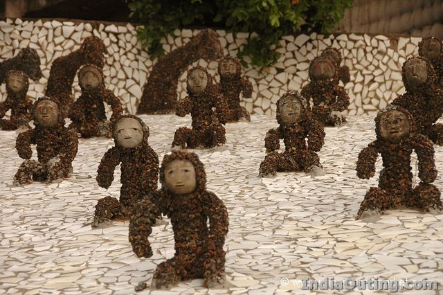
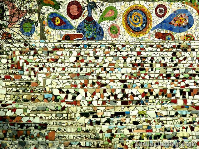
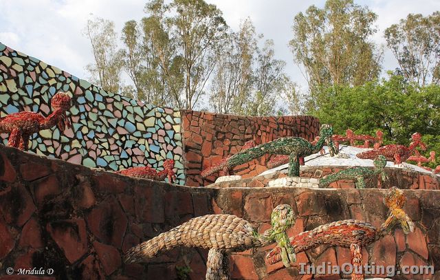
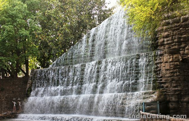
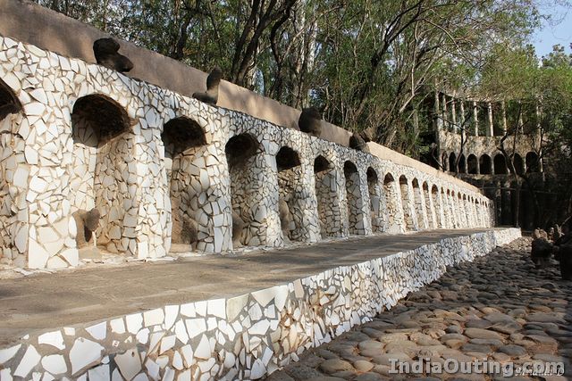
 One of the most unique and spectacular attractions in Chandigarh is the Rock Garden. It is a classic example of innovation and recycling at its best. Designed to look like a lost kingdom, this sprawling 40 acre garden is situated between the Capitol Complex and Sukhna Lake.
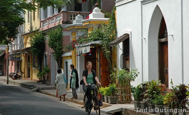
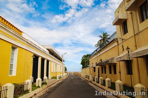
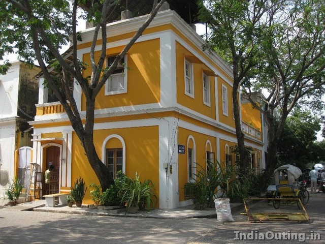
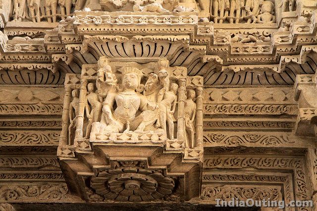
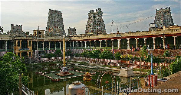
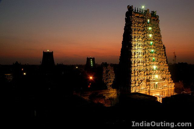
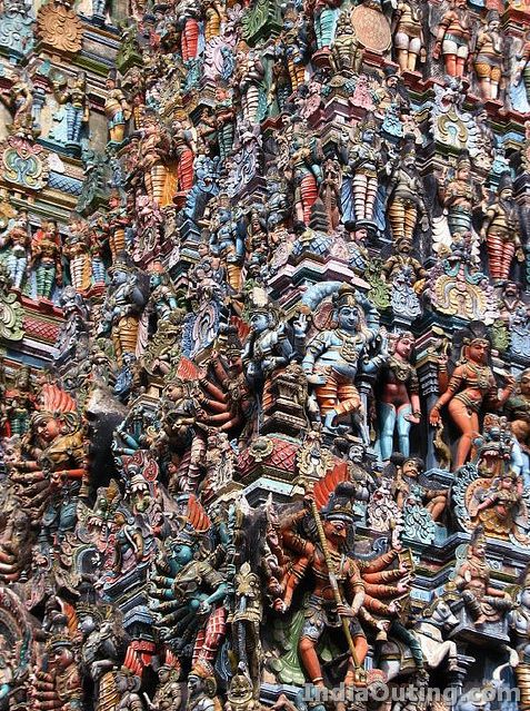
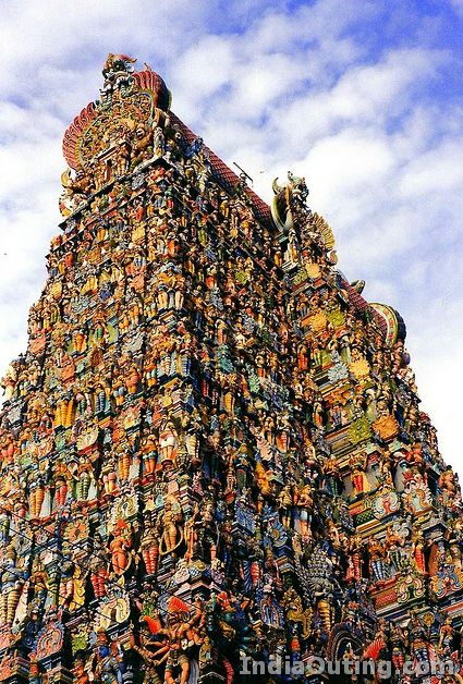
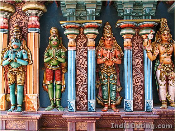
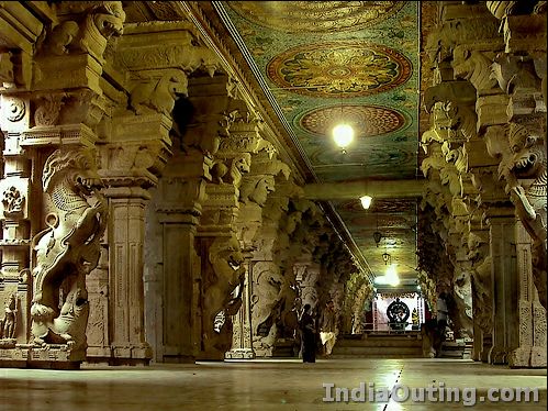
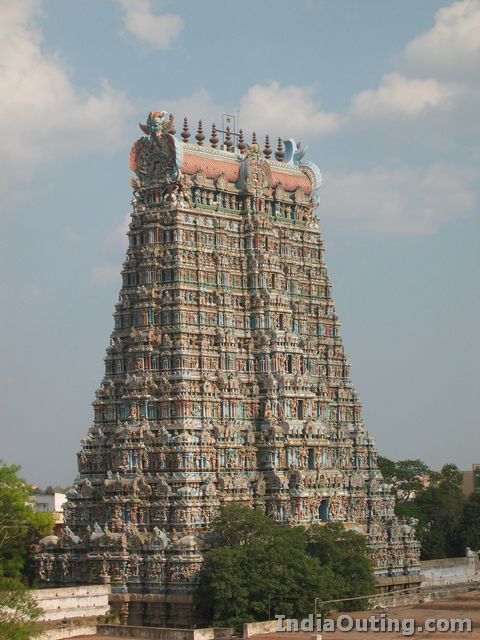
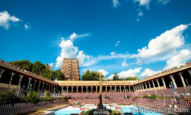
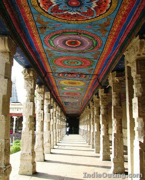
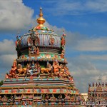 Madurai, also known as the Temple City of South India, is the second largest city in Tamil Nadu. Situated on the banks of the river Vaigi, this city is tantamount with the Meenakshi Sundareswarar twin Temple. This gigantic temple complex is dedicated to Shiva, known here as Sundareshwara and his consort Parvati who is known here as Meenakshi. This temple is the focal point around which the city of Madurai has developed over 2500 years.
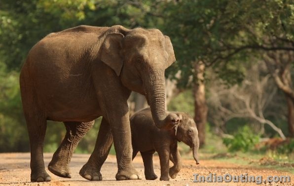
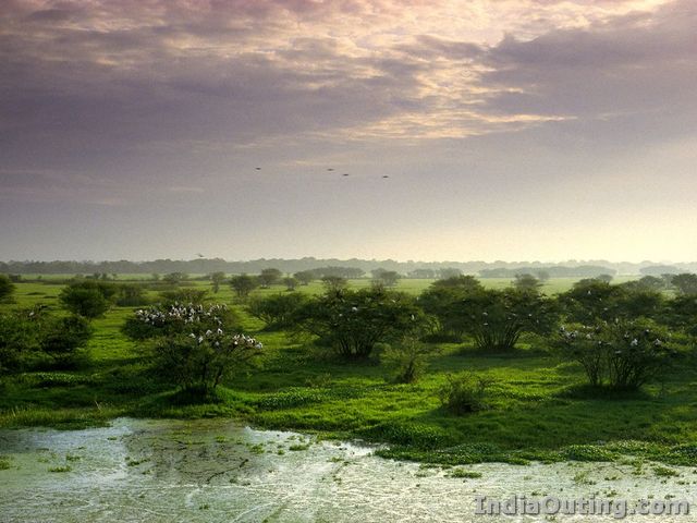
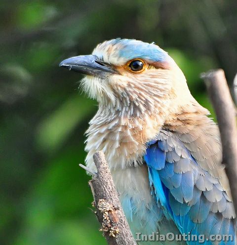
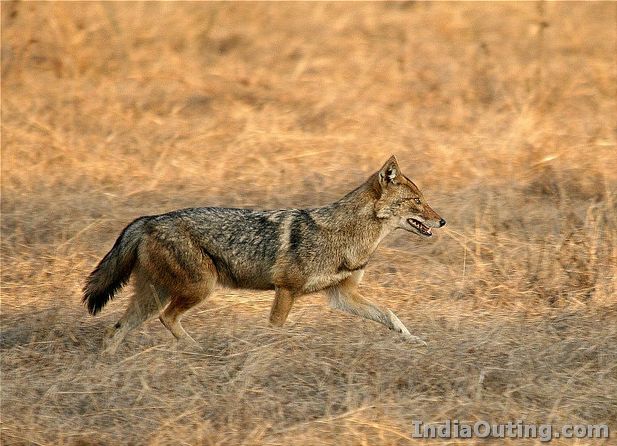
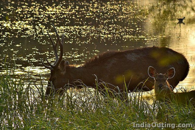
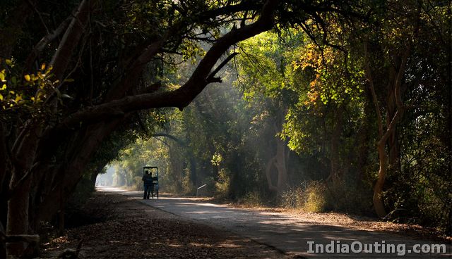
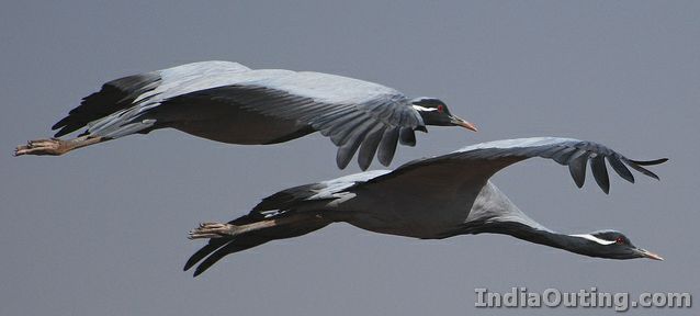
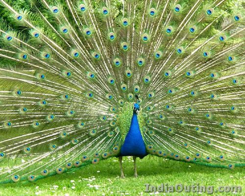
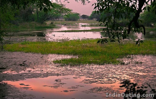
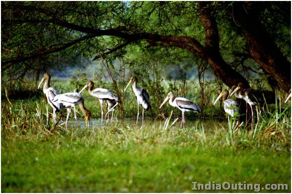
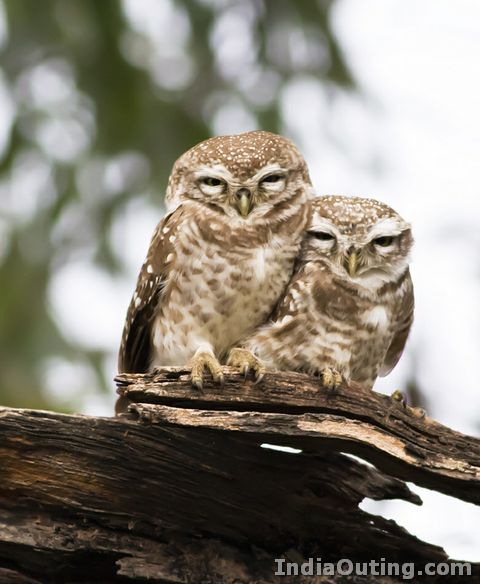
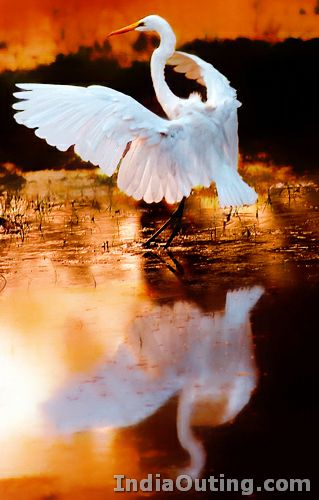
 For all the nature lovers out there, who wish to spend some time away from the buzz and din of the cities, the clean fresh air and in the company of some of the rarest of the rare birds which are never seen in the cities, there is a place called Keoladeo National Park which is known as “Bird Paradise”. The Keoladeo National Park, formerly known as Bharatpur Bird Sanctuary, is one of Asia’s finest bird areas with over 380 resident and migrant species which include Demoiselle, Common and the rare Siberian Cranes.
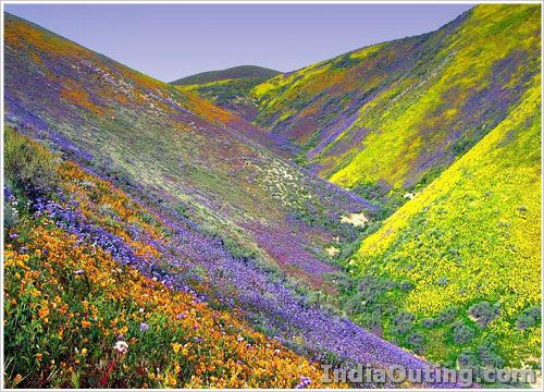
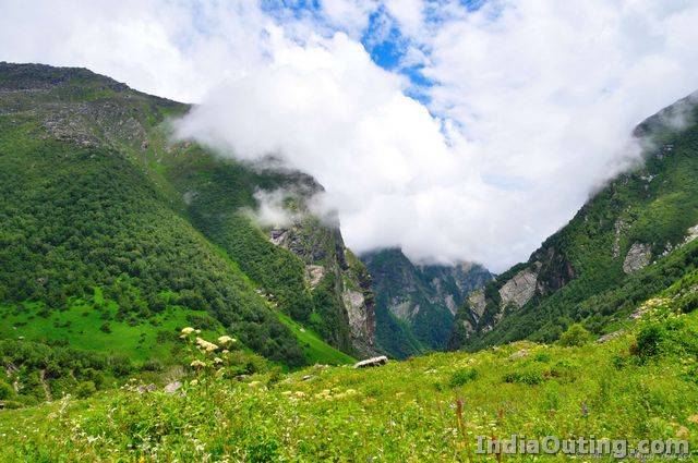
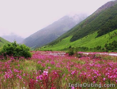
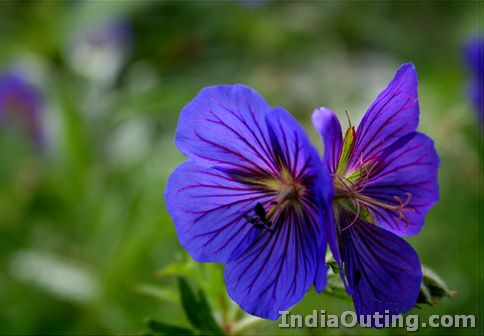
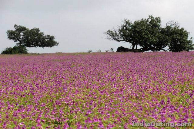
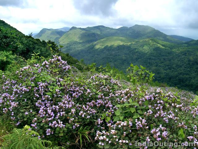
 “High in the Himalayan ranges of Garhwal hills of Uttaranchal lies an enchanted Valley.” About 600 kilometers from Delhi, in the Chamoli district of Uttaranchal can be found The Valley of Flowers, a breathtaking array of over 500 different species of wild flowers spread over an area of 87.5 km². It is situated a height of 11,000 feet to 14,000 feet above the sea level in the Western Himalayas.